At the core of New York City’s transportation systems, economy and civic life, Lower Manhattan is a destination and gateway for workers, residents and visitors across the city, region and world. As the city’s first working waterfront, the Seaport was also the birthplace of its maritime economy—a cutting-edge center of commerce with an integral relationship to the water. Today, its climate risks are clear: daily tidal flooding, coastal storms, extreme precipitation and extreme heat will only increase. Without action, parts of the neighborhood will flood monthly by the 2040s and almost daily by the 2080s.
The Financial District and Seaport Climate Resilience Master Plan—a critical component of the Lower Manhattan Coastal Resiliency (LMCR) planning effort—is a shared City-community vision for a resilient 21st-century waterfront grounded in climate science, engineering and feasibility testing, led by the NYC Economic Development Corporation (EDC) and the Mayor’s Office of Climate and Environmental Justice (MOCEJ). Working closely with Lower Manhattan community members and stakeholders, the team assembled the Climate Coalition of Lower Manhattan (CCLM) to actively shape the plan. As a member of the consultant team led by Arcadis, SCAPE played a critical role in urban design; ecological design; landscape and open space strategies; access and circulation; and stakeholder and public engagement over an iterative, two-year design process.
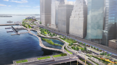
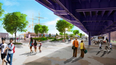
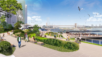
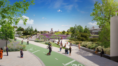
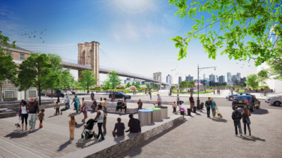
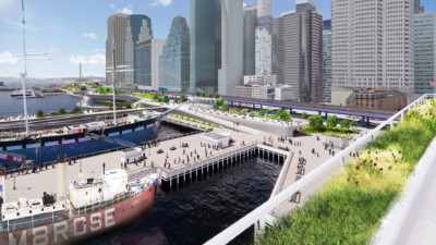
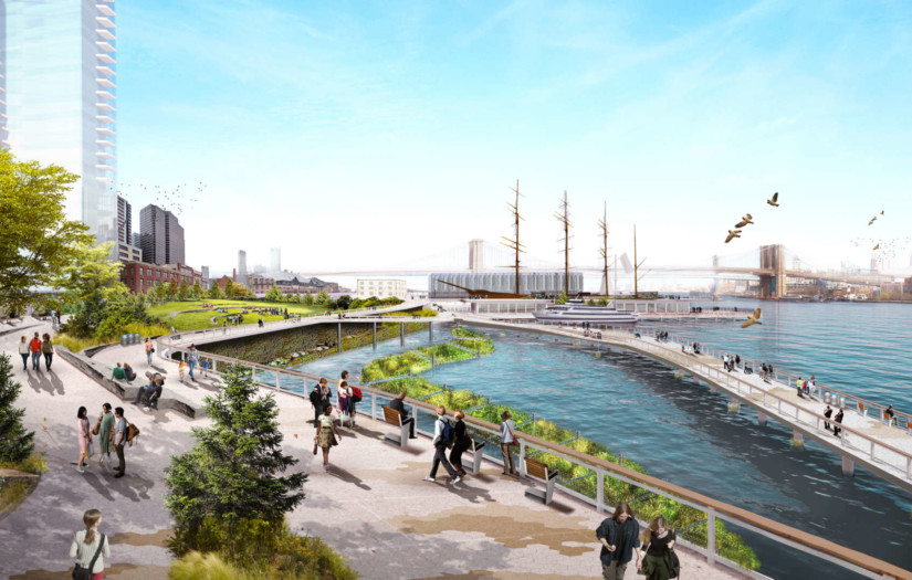
The Financial District and Seaport are particularly low-lying, putting them at increased flood risk compared to nearby areas. They also face complex constraints that make future-proofing the waterfront challenging—a mix of subsurface infrastructure, historic structures, limited waterfront space, a highly-frequented esplanade and service by multiple ferry lines. Balancing multiple needs and aspirations, the Master Plan seamlessly integrates flood risk reduction infrastructure into a publicly accessible, multi-level waterfront. Doubling as an elevated open space with expansive views of the harbor and city, an upper level will incorporate buried flood walls about 15 to 18 feet higher than today’s waterfront. A new waterfront esplanade will be closer to the water, connecting people to piers and ferries and designed at an elevation that will remain dry during high tides as sea levels rise but safely flood during major storms. The Master Plan proposes a waterfront designed for universal accessibility, creating frequent and inviting entrances and circulation for people of all ages, abilities and disabilities. Ecological enhancements for aquatic habitats are incorporated throughout, including protected coves and textured surfaces to support aquatic species.
Layering benefits—risk reduction infrastructure, stormwater management and drainage infrastructure, resilient maritime assets, restored marine ecosystems, public amenities and flexible use—the plan envisions a 21st century waterfront that restores the vibrancy and activity of the shoreline while preparing it for the reality of a climate-changed future.
Learn more:
Client
- NYC Economic Development Corporation (NYCEDC)
- NYC Mayor’s Office of Climate and Environmental Justice (MOCEJ)
Collaborators
Arcadis
One Architecture & Urbanism (ONE)
Sam Schwartz Engineering
Matrix New World
Ernst & Young Infrastructure Advisors, Inc.
BJH Advisors
Karp Strategies
AKRF, Inc.
Sive Paget Riesel
