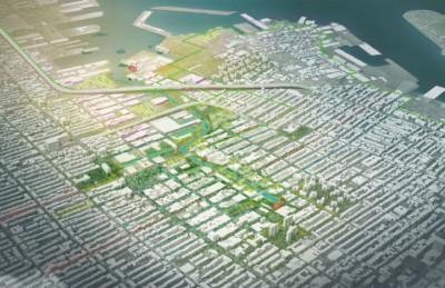
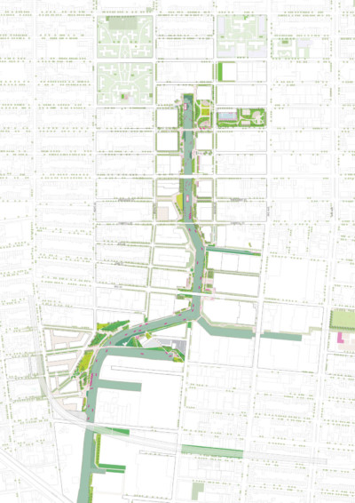
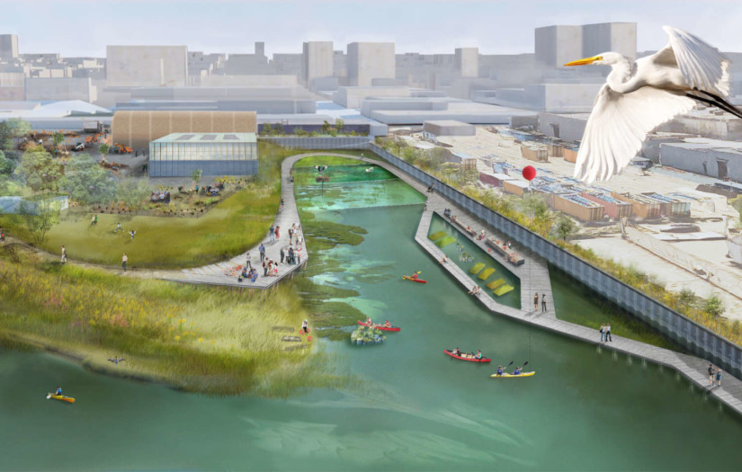
Gowanus Lowlands is a community-based vision for a restored public realm and open space network centered around the Gowanus Canal and its watershed—a federally-designated Superfund site currently in the process of being cleaned up and capped.
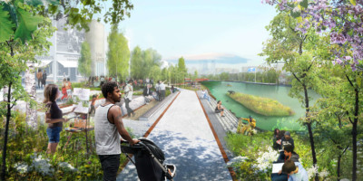
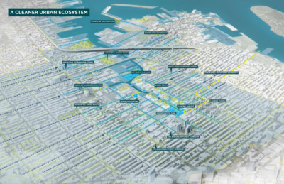
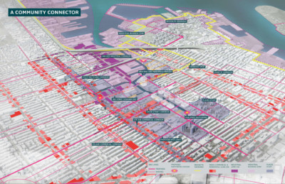
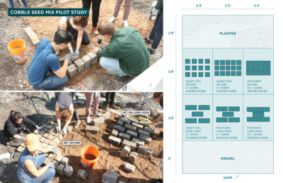
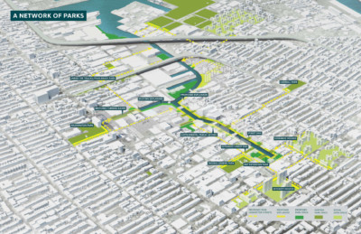
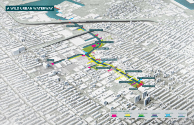
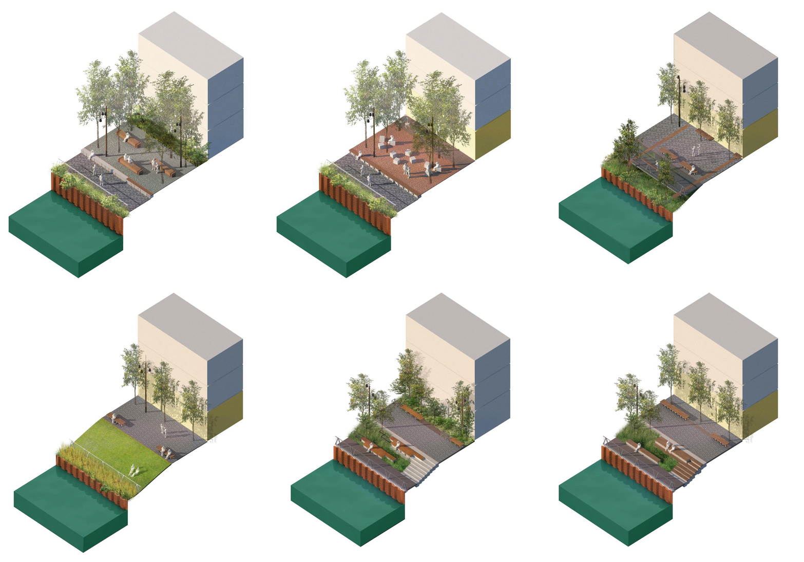
Inspired by the historic hydrology of the Gowanus as a tidal estuary fed by freshwater creeks, the Gowanus Lowlands proposes spatial concepts that solve for multiple issues including urban heat island effect and lack of tree canopy; sea-level rise, coastal flooding, stormwater management and a combined sewer system; and lack of connectivity and access to open spaces across the neighborhood. At the heart of the vision is a clean and thriving waterway and open space network defined by high-quality civic spaces, a restored waterfront edge, and a cohesive material palette that preserves the unique identity of the neighborhood as it changes over time.
Today, the project is entering a critical phase with the confluence of several long-standing efforts, including the federally-mandated clean-up of the Canal and land use changes cueing private and City investment in the public realm. SCAPE is continuing work at a number of sites across the neighborhood to design waterfront spaces that are active, clean and accessible for all, carrying forth the vision and goals outlined through the Gowanus Lowlands Master Plan.
To learn more:
- Visit the Gowanus Lowlands page on the Gowanus Canal Conservancy’s website.
- Download the draft Gowanus Lowlands Master Plan (2019).
The Gowanus Lowlands in the press:
- Read Jen Kinney in Next City: ‘Gowanus Canal Could Be New Model for Waterfront Planning’ (2017).
- Read Carrie Hojnicki in Architectural Digest: ‘The Future of New York’s Most Polluted Waterway’ (2017).
Client
- Gowanus Canal Conservancy (GCC)
Collaborators
Arup
Ben Margolis
Biohabitats
Langan
Natural Systems Utilities
OptiRTC
Sherwood
Thread Collective
The New York Community Trust
